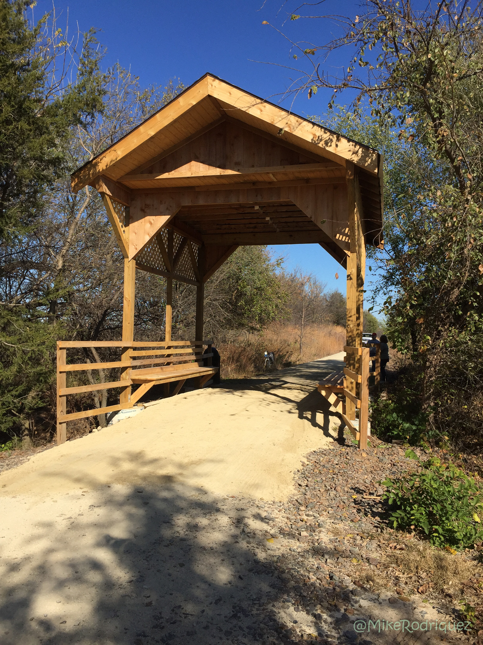

The Meadowlark Trail passes through gentle hills and creek valleys in the 12.6 miles between Lindsborg and McPherson on the old Union Pacific Railroad railbed. It crosses eleven bridges and, at one point, follows the east bank of the Smoky Hill River. Both trails travel through beautiful county – geologically rich area with several different types of soil and an abundance of wildlife.
Meadowlark Trail Proposed Phases
- Phase I – McPherson trailhead to Pawnee Rd (4 miles)
- Phase II – Lindsborg trailhead to Shawnee Rd (3 miles)
- Phase III – Pawnee Rd to Shawnee Rd (5 miles)
Are horses allowed on this trail? If so, where is the trailhead in McPherson and is there ample parking for a trailer?
Thank you, ld
Hi, Linda. I know this is a couple months late, and you may have found the info already, but this link shows where the McP trailhead is; https://www.google.com/maps/@38.3910084,-97.6758372,120m/data=!3m1!1e3
The parking area is across from the house, is gravel base, and I _think_ it’s got room for a trailer. There are signs up that lead me to believe you can ride your horse on the trail, and I’ve seen evidence that someone has, despite signs asking people to help keep the trail clean. Hope this helps you, or someone else.
I am wondering if others who follow you on FB got letters from Adams Jones? I seem to not get any response with my other inquires on other sources.
Trail is not complete. Land owners has blocked the trail with barbed wire fence and trucks.
Is the trail rideable? Fully Open? a small group plans to drive up from Wichita and ride the trail on this Friday. Any recommendations?
Hi! From McPherson you can go 4.5-ish miles, North…until you encounter the blockade. 🙂
From Lindsborg you can go approximately 3 miles, South. It is a limestone surface and ridable for most bikes.